


Overview
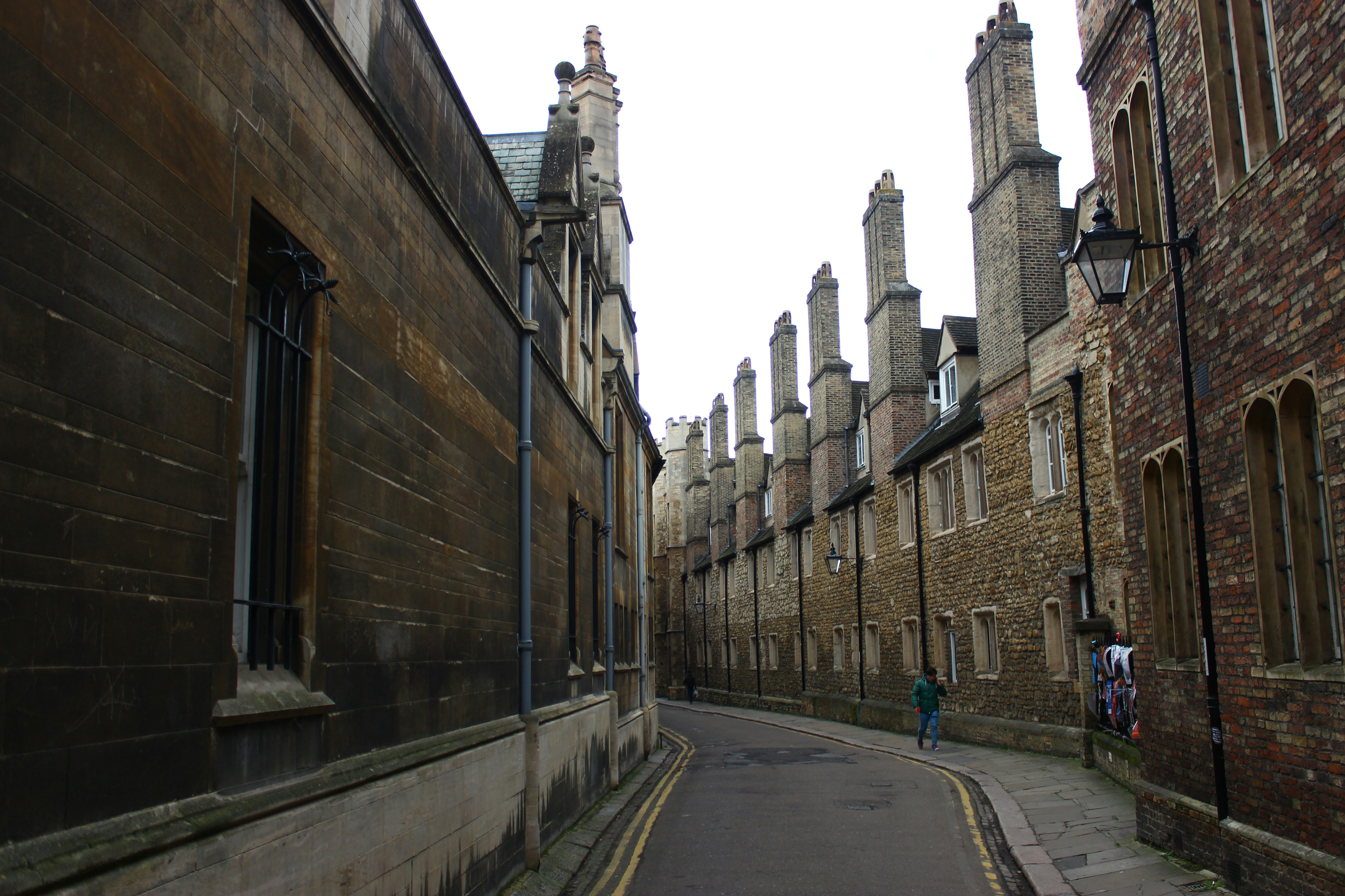
Understanding how changes to transport and the built environment affect air quality is difficult. Air-quality sensors are unevenly distributed, and changes in measurements can reflect weather and other factors as well as the effects of a particular intervention. This makes it hard for local decision-makers to assess what a proposed policy is likely to mean for air pollution at street level.
Working with the Greater Cambridge Partnership, this project will develop a street-level air-quality mapping prototype for Cambridge. It will combine atmospheric modelling with existing sensor measurements to estimate nitrogen dioxide concentrations and the uncertainty surrounding those estimates. The team will demonstrate the approach by modelling the potential air-quality effects of extending 20mph speed limits on selected roads. The longer-term aim is to develop a tool that can help local authorities compare interventions and understand the evidence behind their likely effects.
Project lead:
William Lee, Department of Applied Mathematics and Theoretical Physics


